Me in my Feathercraft Expedition K-1 paddling around Lake Travis.
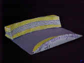
Stream Erosion Model
When I began teaching earth science in 1984, I noticed that there were very few hands-on activities to use with my geology unit. Having grown up in Europe, I remembered that cardstock modeling was a popular hobby there. I also remembered that some of the European cardstock models were very complex but others were pretty simple.
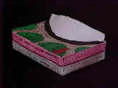
Continental Glacier
I decided to put it all together and design a couple of geologic landform models that would be easy enough for an eighth grader (13 year old) to put together. My first two models were of a glacier and a stream bank. The glacier model was designed so that one side showed what the land looked like during glaciation. The other showed what the land would look like after the glacier had melted. The stream model demonstrated that erosion occurs along the outer curve of a meander, and deposition occurs along the inside curve.
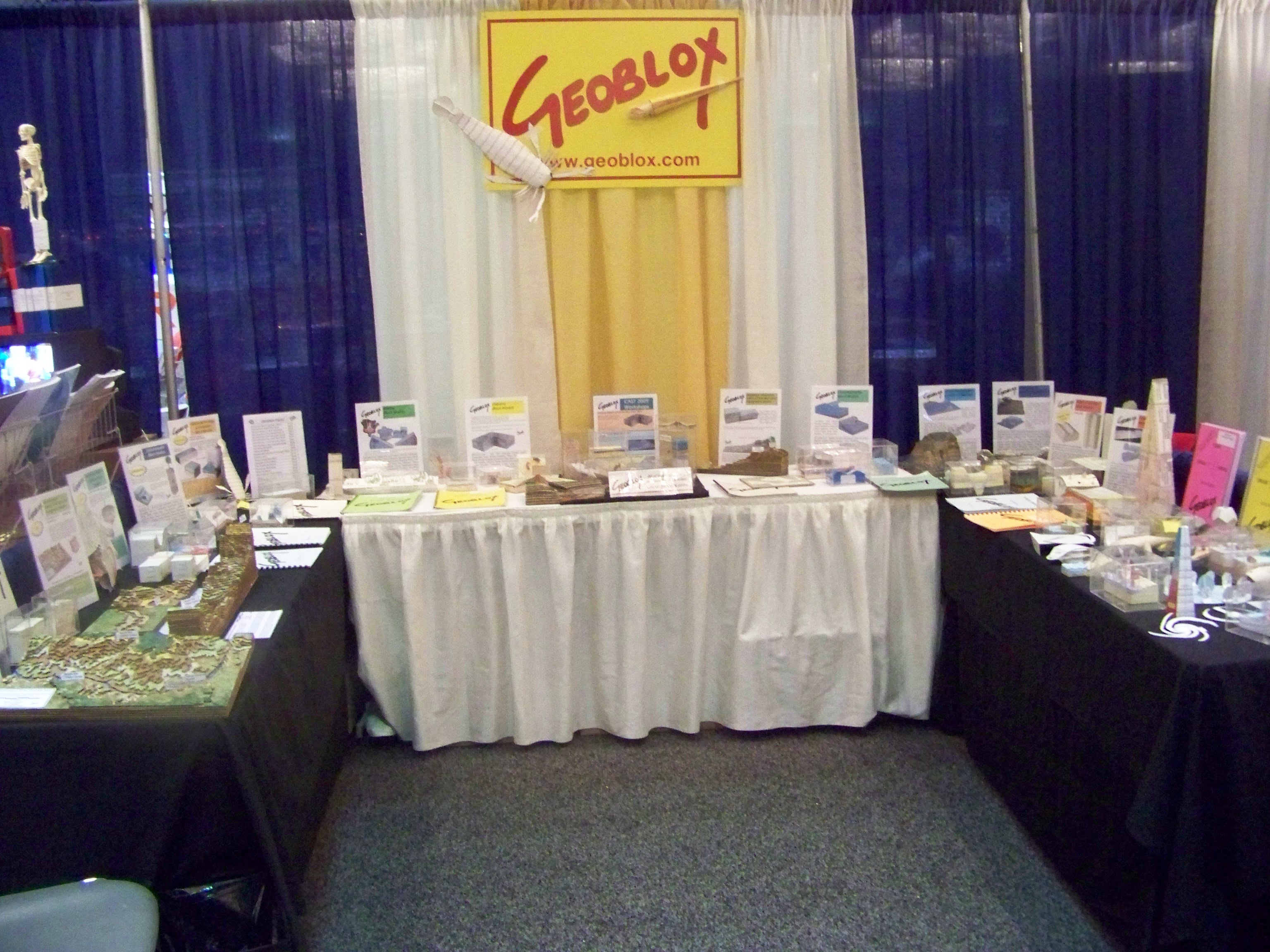
I used both models for many years until a coworker suggested that I develop a few more, put them together into a comb bound booklet, and sell them at CAST, the Texas science teacher convention. The first time I went to a CAST convention I brought a handful of Geology Block Modelbooks and a simple sign that I made at the last minute. My book was successful enough to justify expanding Geoblox.
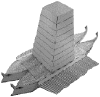
Siege Tower from the game Warship - Conquest of the Mediterranean Since 2002, I have been adding new books that contain models of interest to social studies teachers. I have also included some Geoblox games.